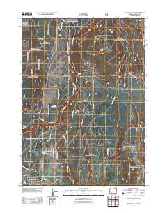
2011 Map of Soloman Butte
USGS Topo · Published 2011About this map
The Williamson River snakes through this high-elevation landscape of Klamath County, defining the drainage patterns and transportation corridors north of Chiloquin. The small settlement of Kirk serves as a primary point of reference in the northern reaches, situated near the river's path as it flows past Merritt Spring. The terrain is characterized by prominent volcanic features and forest service infrastructure, notably Soloman Butte and the Oux-Kanee Overlook, which provides a vantage point over the river valley.
Find a feature on this map
29 named features on this map. Tap any name to fly to it.
Don’t see what you’re looking for? This feature index may not catch every label — zoom into the map to look around manually.
Map Details
Editions of this 2011 Soloman Butte Map
This is the sole edition of this map. No revisions or reprints were ever made.
Other maps of this area
1889 · Klamath
USGS Topo · 1:250,000
1894 · Klamath
USGS Topo · 1:250,000
1955 · Klamath Falls
USGS Topo · 1:250,000
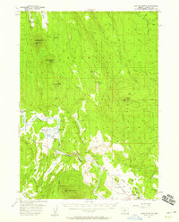
1956 · Calimus Butte
USGS Topo · 1:62,500
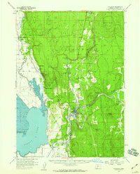
1957 · Chiloquin
USGS Topo · 1:62,500
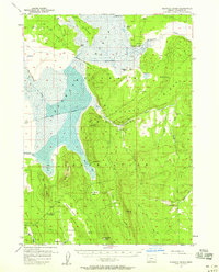
1957 · Klamath Marsh
USGS Topo · 1:62,500
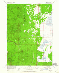
1957 · Lenz
USGS Topo · 1:62,500
1958 · Klamath Falls
USGS Topo · 1:250,000
1980 · Williamson River
USGS Topo · 1:100,000
1985 · Agency Lake
USGS Topo · 1:24,000