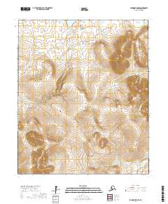
2017 Map of Solomon D-5 NW
USGS Topo · Published 2017About this map
Mariposa Gulch and Jack Wade Gulch are prominent landmarks in this interior section of the Seward Peninsula, where the landscape is defined by an intricate network of gold-bearing stream drainages. The Casadepaga River flows through the southeastern portion of the quadrangle, collecting waters from numerous tributaries including Goose Cr and Goldmoon Cr. The terrain is marked by high-altitude features like Mt Dixon and significant creek systems such as Bonanza Cr and Sherrette Cr. This survey illustrates the complex hydrography of the Nome Census Area, capturing the drainage patterns that have historically shaped prospecting and travel routes in this part of Alaska. Small tributaries like American Cr and Woods-Willow Cr carve through the high ground, showcasing the transition from steep gulches to broader river valleys.
Find a feature on this map
23 named features on this map. Tap any name to fly to it.
Don’t see what you’re looking for? This feature index may not catch every label — zoom into the map to look around manually.
Map Details
Editions of this 2017 Solomon D-5 NW Map
This is the sole edition of this map. No revisions or reprints were ever made.
Other maps of this area

1907 · Casadepaga
USGS Topo · 1:62,500

1950 · Bendeleben A-6
USGS Topo · 1:63,360

1950 · Bendeleben A-5
USGS Topo · 1:63,360

1950 · Bendeleben
USGS Topo · 1:250,000

1950 · Solomon
USGS Topo · 1:250,000

1950 · Solomon D-6
USGS Topo · 1:63,360

1950 · Solomon D-5
USGS Topo · 1:63,360

1951 · Bendeleben
USGS Topo · 1:250,000

1951 · Solomon
USGS Topo · 1:250,000

1964 · Bendeleben
USGS Topo · 1:250,000