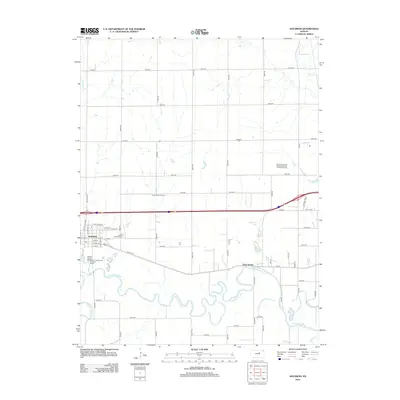
2012 Map of Solomon
USGS Topo · Published 2012About this map
The Solomon River and Smoky Hill River converge in this central Kansas landscape, defining a region where water and transport networks dictate the settlement pattern. The town of Solomon serves as the primary hub, showing a detailed street grid including Main St and Dewey St just north of the river's winding course. The local geography is marked by the presence of Prairie Mound Cem and numerous small water bodies like Magnolia Lake and Redbud Lake.
Find a feature on this map
61 named features on this map. Tap any name to fly to it.
Don’t see what you’re looking for? This feature index may not catch every label — zoom into the map to look around manually.
Map Details
Editions of this 2012 Solomon Map
This is the sole edition of this map. No revisions or reprints were ever made.
Other maps of this area

1889 · Abilene
USGS Topo · 1:125,000

1891 · Clay Center
USGS Topo · 1:125,000

1894 · Abilene
USGS Topo · 1:125,000

1955 · Niles
USGS Topo · 1:24,000

1955 · Kipp
USGS Topo · 1:24,000

1955 · Manhattan
USGS Topo · 1:250,000

1955 · Hutchinson
USGS Topo · 1:250,000

1956 · Manhattan
USGS Topo · 1:250,000

1957 · Manhattan
USGS Topo · 1:250,000

1959 · Hutchinson
USGS Topo · 1:250,000