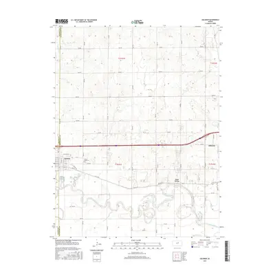
2015 Map of Solomon
USGS Topo · Published 2015About this map
The Smoky Hill River carves a highly sinuous path through this Dickinson County landscape, defining the character of the river valley as it flows toward Abilene. The settlement of Solomon sits at the western edge, showcasing a distinct street grid with named thoroughfares like E Main St and E William St. The map captures a moment in the region's development where major transportation corridors, including Old Hwy 40, run parallel to the river and established rail lines, linking the smaller community of Sand Spring to the larger regional centers. Rural history is anchored by the Prairie Mound Cem, while local hydrology is further detailed by the presence of Magnolia Lake and Redbud Lake, which offer a contrast to the surrounding section-line road network that segments the prairie into regular agricultural blocks.
Find a feature on this map
60 named features on this map. Tap any name to fly to it.
Don’t see what you’re looking for? This feature index may not catch every label — zoom into the map to look around manually.
Map Details
Editions of this 2015 Solomon Map
This is the sole edition of this map. No revisions or reprints were ever made.
Other maps of this area

1889 · Abilene
USGS Topo · 1:125,000

1891 · Clay Center
USGS Topo · 1:125,000

1894 · Abilene
USGS Topo · 1:125,000

1955 · Niles
USGS Topo · 1:24,000

1955 · Kipp
USGS Topo · 1:24,000

1955 · Manhattan
USGS Topo · 1:250,000

1955 · Hutchinson
USGS Topo · 1:250,000

1956 · Manhattan
USGS Topo · 1:250,000

1957 · Manhattan
USGS Topo · 1:250,000

1959 · Hutchinson
USGS Topo · 1:250,000