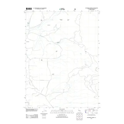
2012 Map of Solomons Temple
USGS Topo · Published 2012About this map
The Little Shasta River flows through this corner of Siskiyou County, defining a landscape marked by prominent volcanic and geologic formations. Rising above the river basin is Table Rock and the namesake Solomons Temple, a natural landmark situated near Temple Rock. The area is characterized by a sparse network of ranching and rural residential outposts, including the settlements of Martin, Kegg, and Hart along Davis Rd.
Find a feature on this map
36 named features on this map. Tap any name to fly to it.
Don’t see what you’re looking for? This feature index may not catch every label — zoom into the map to look around manually.
Map Details
Editions of this 2012 Solomons Temple Map
This is the sole edition of this map. No revisions or reprints were ever made.
Other maps of this area

1886 · Shasta
USGS Topo · 1:250,000

1894 · Shasta
USGS Topo · 1:250,000

1921 · Shasta Valley Sheet No 11
USGS Topo · 1:24,000

1922 · Shasta Valley Sheet No 10 E
USGS Topo · 1:24,000

1922 · Shasta Valley Sheet No 12
USGS Topo · 1:24,000

1934 · Macdoel
USGS Topo · 1:96,000

1941 · Macdoel
USGS Topo · 1:125,000

1948 · Weed
USGS Topo · 1:250,000

1950 · Weed
USGS Topo · 1:250,000

1954 · The Whaleback
USGS Topo · 1:62,500