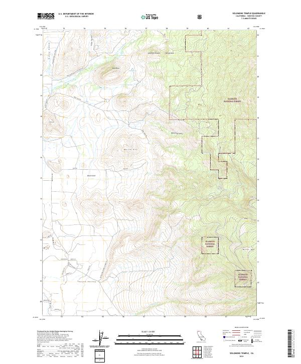
2021 Map of Solomons Temple
USGS Topo · Published 2021About this map
Klamath National Forest dominates the eastern high ground of this Siskiyou County landscape, where the terrain transitions into the broad expanse of the Shasta Valley. The namesake Solomons Temple and nearby Temple Rock serve as prominent landmarks overlooking a network of drainages including Walbridge Gulch and Hovey Gulch. Water is a defining element of this high-altitude environment, with numerous perennial sources such as Little Shasta River, Cold Spring, Jims Springs, and Tunnel Spring recorded across the hillsides.
Find a feature on this map
39 named features on this map. Tap any name to fly to it.
Don’t see what you’re looking for? This feature index may not catch every label — zoom into the map to look around manually.
Map Details
Editions of this 2021 Solomons Temple Map
This is the sole edition of this map. No revisions or reprints were ever made.
Other maps of this area

1886 · Shasta
USGS Topo · 1:250,000

1894 · Shasta
USGS Topo · 1:250,000

1921 · Shasta Valley Sheet No 11
USGS Topo · 1:24,000

1922 · Shasta Valley Sheet No 10 E
USGS Topo · 1:24,000

1922 · Shasta Valley Sheet No 12
USGS Topo · 1:24,000

1934 · Macdoel
USGS Topo · 1:96,000

1941 · Macdoel
USGS Topo · 1:125,000

1948 · Weed
USGS Topo · 1:250,000

1950 · Weed
USGS Topo · 1:250,000

1954 · The Whaleback
USGS Topo · 1:62,500