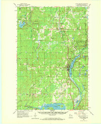
1961 Map of Solon Springs
USGS Topo · Published 1972About this map
Upper St Croix Lake and the Brule River dominate this Douglas County landscape, marking the historic portage route between the Lake Superior and Mississippi River watersheds. The settlement of Solon Springs serves as a central hub, situated along the Chicago and North Western Line railroad and adjacent to the recreational grounds of Lucius Woods State Park. The map documents a heavily forested region including the Brule River State Forest, interspersed with numerous glacial lakes such as Lyman Lake and Lake Minnesuing.
Find a feature on this map
70 named features on this map. Tap any name to fly to it.
Don’t see what you’re looking for? This feature index may not catch every label — zoom into the map to look around manually.
Map Details
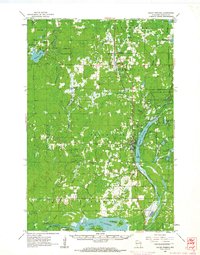
Editions of this 1961 Solon Springs Map
2 editions found
Other maps of this area

1915 · Superior
USGS Topo · 1:48,000

1917 · Superior
USGS Topo · 1:62,500

1945 · Highland
USGS Topo · 1:48,000

1945 · Solon Springs
USGS Topo · 1:48,000

1947 · Brule
USGS Topo · 1:48,000

1947 · Chittamo
USGS Topo · 1:48,000

1947 · Minong
USGS Topo · 1:48,000

1949 · Solon Springs
USGS Topo · 1:48,000

1949 · Chittamo
USGS Topo · 1:48,000

1949 · Minong
USGS Topo · 1:48,000