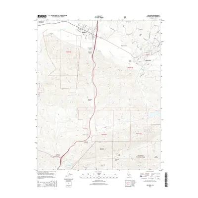
2015 Map of Solvang
USGS Topo · Published 2015About this map
The Danish-inspired architecture of Solvang and the adjacent hub of Buellton anchor the Santa Ynez Valley in this mid-2010s survey. The landscape is defined by the Santa Ynez River as it passes between the Purisima Hills and the northern reaches of the Santa Ynez Mountains. Named canyons like Ballard Canyon and Adobe Canyon reveal the complex geography of this viticultural and agricultural region.
Find a feature on this map
77 named features on this map. Tap any name to fly to it.
Don’t see what you’re looking for? This feature index may not catch every label — zoom into the map to look around manually.
Map Details
Editions of this 2015 Solvang Map
This is the sole edition of this map. No revisions or reprints were ever made.
Other maps of this area

1905 · Lompoc
USGS Topo · 1:125,000

1942 · Lompoc
USGS Topo · 1:125,000

1942 · Lompoc
USGS Topo · 1:62,500

1942 · Pt. Conception
USGS Topo · 1:62,500

1942 · Gaviota
USGS Topo · 1:62,500

1942 · Los Olivos
USGS Topo · 1:62,500

1943 · Los Olivos
USGS Topo · 1:62,500

1943 · Lompoc
USGS Topo · 1:125,000

1943 · Gaviota
USGS Topo · 1:62,500

1947 · Gaviota
USGS Topo · 1:62,500