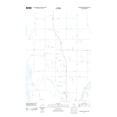
2013 Map of Somerset North
USGS Topo · Published 2013About this map
The Apple River meanders through this portion of Saint Croix County, Wisconsin, joining the Saint Croix R along the western edge of the quadrangle. This 2013 survey reflects a landscape defined by glacial lakes and contemporary development, where agricultural grids intersect with the growing rural-residential corridors north of Somerset. Significant water bodies like Bass Lake and Pine Lake are prominent landmarks within the central township sections. To the east, the Riverdale Flowage marks a controlled section of the river system, while Turtle Lake sits tucked away amidst the local road network. The primary transportation artery, State Road 35, bisects the area, serving as the connective spine for local routes such as Church Hill Rd and Rice Lake Rd. The map provides a precise look at the modern shoreline and parcel access during the early 21st century.
Find a feature on this map
59 named features on this map. Tap any name to fly to it.
Don’t see what you’re looking for? This feature index may not catch every label — zoom into the map to look around manually.
Map Details
Editions of this 2013 Somerset North Map
This is the sole edition of this map. No revisions or reprints were ever made.
Other maps of this area

1900 · St Croix Dalles
USGS Topo · 1:62,500

1901 · St Croix Dalles
USGS Topo · 1:62,500

1948 · New Richmond
USGS Topo · 1:62,500

1948 · Stillwater
USGS Topo · 1:62,500

1949 · New Richmond
USGS Topo · 1:62,500

1949 · Stillwater
USGS Topo · 1:62,500

1951 · Stillwater
USGS Topo · 1:24,000

1953 · Stillwater
USGS Topo · 1:250,000

1955 · St. Croix Dalles
USGS Topo · 1:62,500

1955 · Marine
USGS Topo · 1:24,000