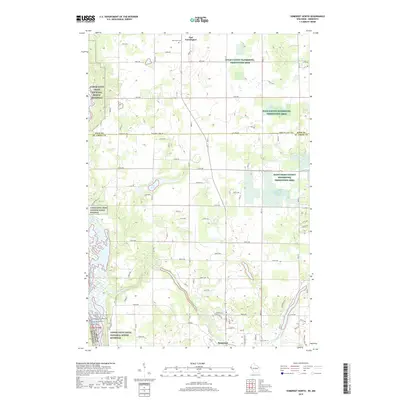
2019 Map of Somerset North
USGS Topo · Published 2019About this map
Somerset and East Farmington anchor this landscape along the border of Minnesota and Wisconsin, where the Apple River carves a path through the glacial terrain of St. Croix and Polk Counties. The river's course is punctuated by the Apple River Falls, a notable hydrological feature in an area defined by numerous kettle lakes like Turtle Lake, Bass Lake, and Pine Lake. These water bodies are often surrounded by protected lands, including the Lower Saint Croix National Scenic Riverway and extensive waterfowl production areas.
Find a feature on this map
57 named features on this map. Tap any name to fly to it.
Don’t see what you’re looking for? This feature index may not catch every label — zoom into the map to look around manually.
Map Details
Editions of this 2019 Somerset North Map
This is the sole edition of this map. No revisions or reprints were ever made.
Other maps of this area

1900 · St Croix Dalles
USGS Topo · 1:62,500

1901 · St Croix Dalles
USGS Topo · 1:62,500

1948 · New Richmond
USGS Topo · 1:62,500

1948 · Stillwater
USGS Topo · 1:62,500

1949 · New Richmond
USGS Topo · 1:62,500

1949 · Stillwater
USGS Topo · 1:62,500

1951 · Stillwater
USGS Topo · 1:24,000

1953 · Stillwater
USGS Topo · 1:250,000

1955 · St. Croix Dalles
USGS Topo · 1:62,500

1955 · Marine
USGS Topo · 1:24,000