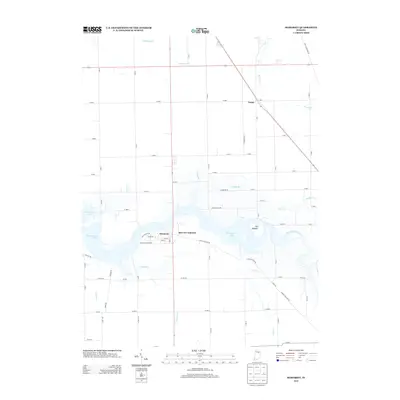
2013 Map of Somerset
USGS Topo · Published 2013About this map
Somerset and Mount Vernon sit along the northern edge of the flooded valley created by Mississinewa Lake. This landscape in southern Wabash County is defined by the heavy modification of the Mississinewa River corridor, where the expansive reservoir now covers former bottomlands. To the east, the river maintains its natural course near the distinctive terrain of The Hogback, winding through a network of smaller tributaries including Grant Creek and Pee Dee Creek.
Find a feature on this map
48 named features on this map. Tap any name to fly to it.
Don’t see what you’re looking for? This feature index may not catch every label — zoom into the map to look around manually.
Map Details
Editions of this 2013 Somerset Map
This is the sole edition of this map. No revisions or reprints were ever made.
Other maps of this area

1950 · Lagro
USGS Topo · 1:24,000

1951 · Lagro
USGS Topo · 1:24,000

1951 · Richvalley
USGS Topo · 1:24,000

1952 · Wabash
USGS Topo · 1:24,000

1953 · La Fontaine
USGS Topo · 1:24,000

1953 · Somerset
USGS Topo · 1:24,000

1953 · Peoria
USGS Topo · 1:24,000

1953 · Muncie
USGS Topo · 1:250,000

1956 · Muncie
USGS Topo · 1:250,000

1961 · Marion
USGS Topo · 1:24,000