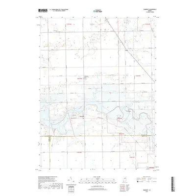
2019 Map of Somerset
USGS Topo · Published 2019About this map
Mississinewa Lake dominates the central landscape of this Wabash County region, a significant reservoir created by the damming of the Mississinewa River. The settlement of Somerset sits along its southern shore, positioned near the intersection of several historic routes including the Frances Slocum Trl and E Miller Rd. The topography is marked by distinctive glacial and fluvial features, most notably The Hogback, a prominent ridge situated where Grant Creek meets the river valley.
Find a feature on this map
79 named features on this map. Tap any name to fly to it.
Don’t see what you’re looking for? This feature index may not catch every label — zoom into the map to look around manually.
Map Details
Editions of this 2019 Somerset Map
This is the sole edition of this map. No revisions or reprints were ever made.
Other maps of this area

1950 · Lagro
USGS Topo · 1:24,000

1951 · Lagro
USGS Topo · 1:24,000

1951 · Richvalley
USGS Topo · 1:24,000

1952 · Wabash
USGS Topo · 1:24,000

1953 · La Fontaine
USGS Topo · 1:24,000

1953 · Somerset
USGS Topo · 1:24,000

1953 · Peoria
USGS Topo · 1:24,000

1953 · Muncie
USGS Topo · 1:250,000

1956 · Muncie
USGS Topo · 1:250,000

1961 · Marion
USGS Topo · 1:24,000