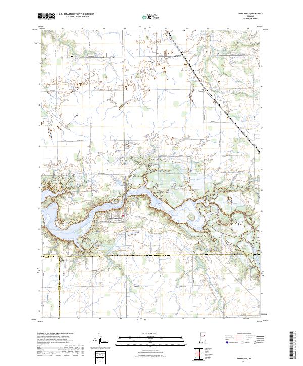
2022 Map of Somerset
USGS Topo · Published 2022About this map
Somerset and the surrounding farmland of Wabash and Grant counties are defined by the winding course of the Mississinewa River. The river's path through this region is marked by significant topographical shifts, most notably at The Hogback, a sharp bend just east of the village. The modern landscape is dominated by the Mississinewa Lake reservoir, which has reshaped the local drainage patterns of smaller tributaries like Tenmile Creek and Goose Creek.
Find a feature on this map
86 named features on this map. Tap any name to fly to it.
Don’t see what you’re looking for? This feature index may not catch every label — zoom into the map to look around manually.
Map Details
Editions of this 2022 Somerset Map
This is the sole edition of this map. No revisions or reprints were ever made.
Other maps of this area

1950 · Lagro
USGS Topo · 1:24,000

1951 · Lagro
USGS Topo · 1:24,000

1951 · Richvalley
USGS Topo · 1:24,000

1952 · Wabash
USGS Topo · 1:24,000

1953 · La Fontaine
USGS Topo · 1:24,000

1953 · Somerset
USGS Topo · 1:24,000

1953 · Peoria
USGS Topo · 1:24,000

1953 · Muncie
USGS Topo · 1:250,000

1956 · Muncie
USGS Topo · 1:250,000

1961 · Marion
USGS Topo · 1:24,000