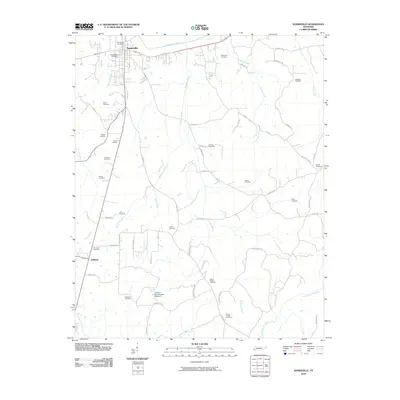
2010 Map of Somerville
USGS Topo · Published 2010About this map
Somerville serves as the focal point of this Fayette County survey, situated just south of the Loosahatchie River. The town's grid and the Somerville Post Office sit at a convergence of local routes including Kay Ln and Rehoboth Rd. The landscape is notably dense with family and community burial grounds, such as Stitts Cemetery, Brooks Cemetery, and Whitaker Cemetery, which offer significant value for genealogists tracing early regional families.
Find a feature on this map
59 named features on this map. Tap any name to fly to it.
Don’t see what you’re looking for? This feature index may not catch every label — zoom into the map to look around manually.
Map Details
Editions of this 2010 Somerville Map
This is the sole edition of this map. No revisions or reprints were ever made.
Other maps of this area

1949 · Moscow
USGS Topo · 1:62,500

1950 · Grand Junction
USGS Topo · 1:24,000

1951 · Hickory Valley
USGS Topo · 1:24,000

1951 · Grand Junction
USGS Topo · 1:24,000

1952 · Lambert
USGS Topo · 1:24,000

1952 · Laconia
USGS Topo · 1:24,000

1952 · Stanton
USGS Topo · 1:62,500

1956 · Blytheville
USGS Topo · 1:250,000

1959 · Blytheville
USGS Topo · 1:250,000

1959 · Whiteville
USGS Topo · 1:24,000