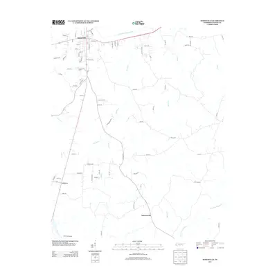
2013 Map of Somerville
USGS Topo · Published 2013About this map
Somerville serves as the focal point of this 2013 topographic survey, situated just south of the Loosahatchie River Canal and the smaller Town Br. The map documents the residential and municipal growth of the area, showing street grids for both Somerville and the southern village of Williston. The geography here is defined by a network of north-south flowing tributaries, including Bennetts Cr, Black Cr, and Howell Cr, which ultimately feed into the North Fork Wolf River along the southern edge of the quadrangle.
Find a feature on this map
79 named features on this map. Tap any name to fly to it.
Don’t see what you’re looking for? This feature index may not catch every label — zoom into the map to look around manually.
Map Details
Editions of this 2013 Somerville Map
This is the sole edition of this map. No revisions or reprints were ever made.
Other maps of this area

1949 · Moscow
USGS Topo · 1:62,500

1950 · Grand Junction
USGS Topo · 1:24,000

1951 · Hickory Valley
USGS Topo · 1:24,000

1951 · Grand Junction
USGS Topo · 1:24,000

1952 · Lambert
USGS Topo · 1:24,000

1952 · Laconia
USGS Topo · 1:24,000

1952 · Stanton
USGS Topo · 1:62,500

1956 · Blytheville
USGS Topo · 1:250,000

1959 · Blytheville
USGS Topo · 1:250,000

1959 · Whiteville
USGS Topo · 1:24,000