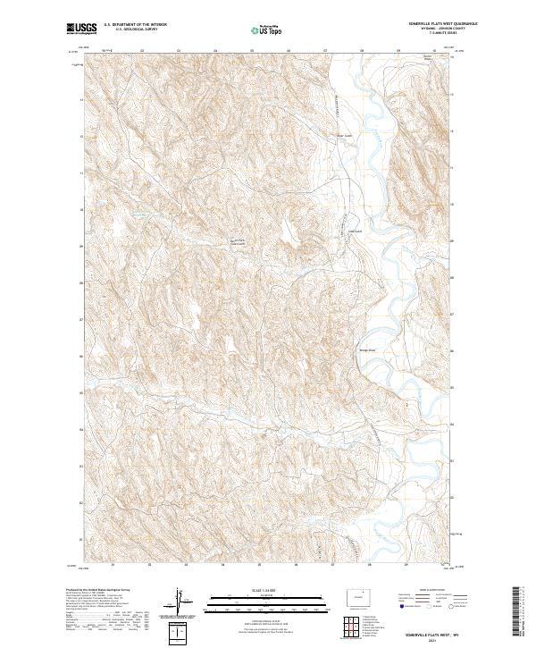
2021 Map of Somerville Flats West
USGS Topo · Published 2021About this map
The Powder River carves a meandering course through the eastern portion of this Johnson County landscape, creating a distinct riparian corridor against the surrounding high plains. The topography is defined by a dense network of erosional features, where landmarks like Bridge Draw, Deer Gulch, and Turner Draw demonstrate the intricate drainage patterns that feed into the main river valley. This is a region of sparse human infrastructure, where connectivity is maintained by local routes such as Upper Powder River Rd and Dry Creek Rd.
Find a feature on this map
18 named features on this map. Tap any name to fly to it.
Don’t see what you’re looking for? This feature index may not catch every label — zoom into the map to look around manually.
Map Details
Editions of this 2021 Somerville Flats West Map
This is the sole edition of this map. No revisions or reprints were ever made.
Other maps of this area

1955 · Sheridan
USGS Topo · 1:250,000

1958 · Sheridan
USGS Topo · 1:250,000

1962 · Sheridan
USGS Topo · 1:250,000

1972 · Mitchell Draw
USGS Topo · 1:24,000
1972 · Ploessers Draw
USGS Topo · 1:24,000
1972 · Laskie Draw
USGS Topo · 1:24,000
1972 · Bear Draw
USGS Topo · 1:24,000
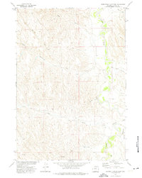
1972 · Somerville Flats West
USGS Topo · 1:24,000
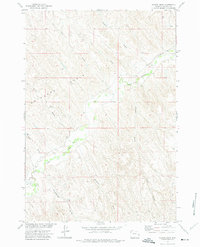
1972 · Floate Draw
USGS Topo · 1:24,000
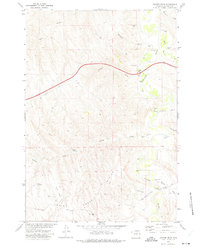
1972 · Juniper Draw
USGS Topo · 1:24,000