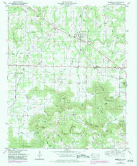
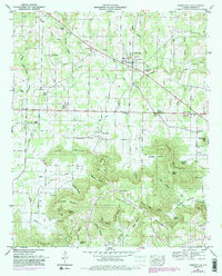
1951 Map of Somerville
USGS Topo · Published 1983About this map
Somerville stands as the primary hub in this portion of Morgan County, located just north of the significant rises of Brindley Mountain and Cedar Mountain. The landscape is defined by a dense network of named hollows and springs that supported early settlement, including Vinsant Hollow and Whiteoak Spring. This 1951 survey, which includes later revisions from 1981, reveals a rural economy centered on small communities like Henderson and Turney Crossroads.
Find a feature on this map
75 named features on this map. Tap any name to fly to it.
Don’t see what you’re looking for? This feature index may not catch every label — zoom into the map to look around manually.
Map Details
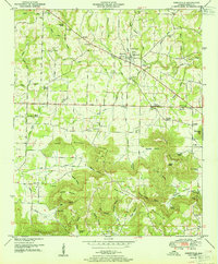
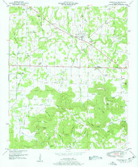
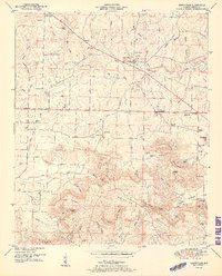
Editions of this 1951 Somerville Map
5 editions found
Other maps of this area

1888 · Cullman
USGS Topo · 1:125,000

1888 · Huntsville
USGS Topo · 1:125,000

1892 · Cullman
USGS Topo · 1:125,000

1892 · Huntsville
USGS Topo · 1:125,000

1927 · Falkville
USGS Topo · 1:24,000

1936 · Triana
USGS Topo · 1:24,000

1936 · Hartselle
USGS Topo · 1:24,000

1936 · Decatur
USGS Topo · 1:24,000

1936 · Eva
USGS Topo · 1:24,000

1936 · Somerville
USGS Topo · 1:24,000