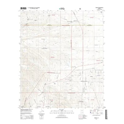
2014 Map of Sonoita
USGS Topo · Published 2014About this map
Sonoita serves as a central hub in this high-desert landscape, where the confluence of several major canyon systems meets the intersection of Az 82 and Az 83. The settlement patterns here reflect a mix of traditional ranching and modern estate development, visible in the named clusters of Hacienda Los Encino and Honnas Ranch Estates. The surrounding Coronado National Forest is deeply etched by drainages such as Louisiana Gulch, Kentucky Gulch, and Adobe Canyon, which funnel toward the winding course of Sonoita Cr.
Find a feature on this map
78 named features on this map. Tap any name to fly to it.
Don’t see what you’re looking for? This feature index may not catch every label — zoom into the map to look around manually.
Map Details
Editions of this 2014 Sonoita Map
This is the sole edition of this map. No revisions or reprints were ever made.
Other maps of this area

1904 · Patagonia
USGS Topo · 1:125,000

1905 · Patagonia
USGS Topo · 1:125,000

1922 · Agus Caliente
USGS Topo · 1:62,500

1926 · Helvetia
USGS Topo · 1:62,500

1932 · Elgin
USGS Topo · 1:62,500

1940 · Elgin
USGS Topo · 1:62,500

1947 · Elgin
USGS Topo · 1:62,500

1948 · Elgin
USGS Topo · 1:24,000

1948 · Sonoita
USGS Topo · 1:24,000
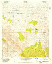
1948 · O'Donnell Canyon
USGS Topo · 1:24,000