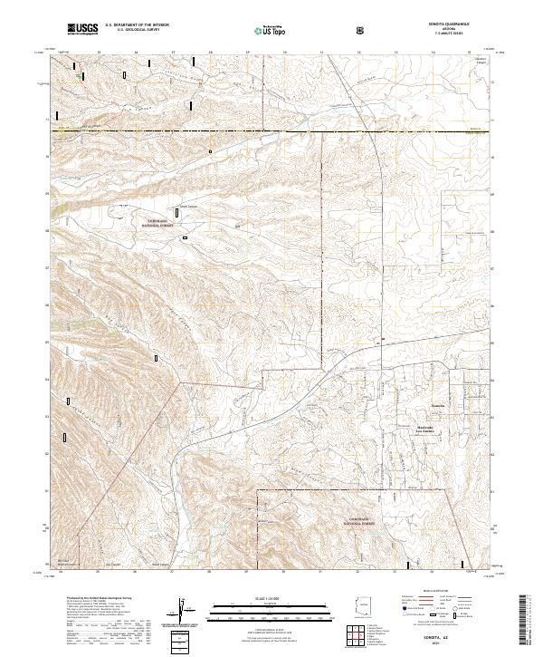
2021 Map of Sonoita
USGS Topo · Published 2021About this map
Coronado National Forest dominates the mountain and canyon landscape of this borderlands region where Santa Cruz and Pima counties meet. The settlement of Sonoita serves as a central hub, surrounded by a distinct network of ranch-named roads and equine-themed trails like Lariat Trl and Mustang Trl. The map documents a rugged drainage system where Sonoita Cr is fed by numerous named gulches and canyons, including Kentucky Gulch, Louisiana Gulch, and Fish Canyon. Historical water sources such as Apache Spring and Monkey Spring are vital landmarks in this arid terrain. For researchers, the detailed mapping of individual estates like Hacienda Los Encino and the route of the Arizona National Scenic Trl provides a clear view of how modern recreation and ranching heritage occupy the same canyons and mesas.
Find a feature on this map
78 named features on this map. Tap any name to fly to it.
Don’t see what you’re looking for? This feature index may not catch every label — zoom into the map to look around manually.
Map Details
Editions of this 2021 Sonoita Map
This is the sole edition of this map. No revisions or reprints were ever made.
Other maps of this area

1904 · Patagonia
USGS Topo · 1:125,000

1905 · Patagonia
USGS Topo · 1:125,000

1922 · Agus Caliente
USGS Topo · 1:62,500

1926 · Helvetia
USGS Topo · 1:62,500

1932 · Elgin
USGS Topo · 1:62,500

1940 · Elgin
USGS Topo · 1:62,500

1947 · Elgin
USGS Topo · 1:62,500

1948 · Elgin
USGS Topo · 1:24,000

1948 · Sonoita
USGS Topo · 1:24,000
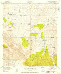
1948 · O'Donnell Canyon
USGS Topo · 1:24,000