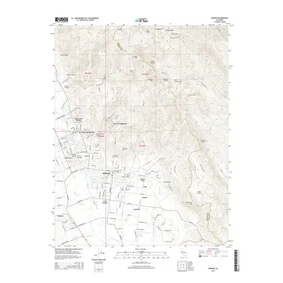
2015 Map of Sonoma
USGS Topo · Published 2015About this map
Sonoma and its surrounding valleys anchor this survey, revealing a landscape defined by its famous springs and deep-set canyons. The northern reaches are dominated by high peaks like Mt Veeder and Bismark Knob, where Redwood Creek and Hooker Creek have carved significant drainage patterns through Wing Canyon and Devils Canyon. This topography gives way to the developed residential corridors of Boyes Hot Springs and Fetters Hot Springs, reflecting the region's long-standing draw as a destination for leisure and wellness.
Find a feature on this map
156 named features on this map. Tap any name to fly to it.
Don’t see what you’re looking for? This feature index may not catch every label — zoom into the map to look around manually.
Map Details
Editions of this 2015 Sonoma Map
This is the sole edition of this map. No revisions or reprints were ever made.
Other maps of this area

1902 · Napa
USGS Topo · 1:125,000

1914 · Petaluma
USGS Topo · 1:62,500

1916 · Mare Island
USGS Topo · 1:62,500

1916 · Santa Rosa
USGS Topo · 1:62,500

1942 · Mare Island
USGS Topo · 1:62,500

1942 · Sonoma
USGS Topo · 1:62,500

1942 · Petaluma
USGS Topo · 1:62,500

1944 · Santa Rosa
USGS Topo · 1:62,500

1947 · Santa Rosa
USGS Topo · 1:250,000

1949 · Santa Rosa
USGS Topo · 1:250,000