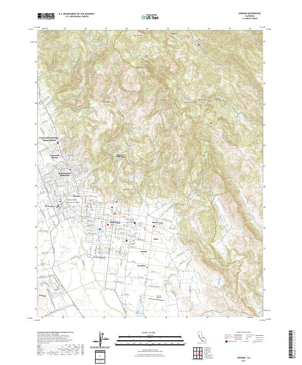
2021 Map of Sonoma
USGS Topo · Published 2021About this map
The town of Sonoma sits at the heart of the Sonoma Valley Valley of the Moon, a landscape shaped by historical thermal resorts and agricultural expansion. To the northwest, the map documents the cluster of communities including Boyes Hot Springs, Fetters Hot Springs-Agua Caliente, and El Verano, which grew around the region's famous mineral waters. The terrain transitions sharply from the valley floor into the southern reaches of the Mayacamas Mountains, featuring prominent peaks like Mt Veeder and Hogback Mtn.
Find a feature on this map
192 named features on this map. Tap any name to fly to it.
Don’t see what you’re looking for? This feature index may not catch every label — zoom into the map to look around manually.
Map Details
Editions of this 2021 Sonoma Map
This is the sole edition of this map. No revisions or reprints were ever made.
Other maps of this area

1902 · Napa
USGS Topo · 1:125,000
1914 · Petaluma
USGS Topo · 1:62,500
1916 · Mare Island
USGS Topo · 1:62,500
1916 · Santa Rosa
USGS Topo · 1:62,500
1942 · Mare Island
USGS Topo · 1:62,500
1942 · Sonoma
USGS Topo · 1:62,500
1942 · Petaluma
USGS Topo · 1:62,500
1944 · Santa Rosa
USGS Topo · 1:62,500

1947 · Santa Rosa
USGS Topo · 1:250,000
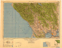
1949 · Santa Rosa
USGS Topo · 1:250,000