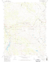
1979 Map of Sonora Pass
USGS Topo · Published 1980About this map
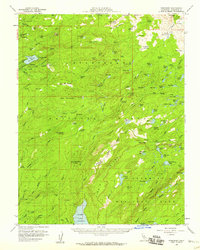
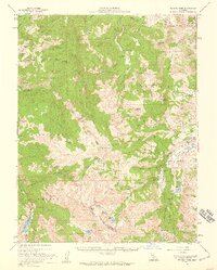
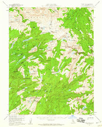
Sonora Pass serves as the high-altitude gateway between the Stanislaus National Forest and the Toiyabe National Forest, marking the boundary between Tuolumne, Alpine, and Mono Counties. This 1979 survey details a high-Sierra landscape dominated by the protected Emigrant Wilderness and the Pacific Crest National Scenic Trail. Evidence of early alpine resource use and travel is noted at the Relief Reservoir, which includes a Dam and Spillway managed by the Pacific Gas & Electric Company, and a lone Grave located near Chipmunk Flat. The seasonal settlement at Kennedy Meadow provides a base for exploration, while various water features like Blue Canyon Lake and Kennedy Creek feed the headwaters of the Stanislaus River. Small-scale mining interests are indicated by a Prospect near Silver Mine Creek.
Find a feature on this map
56 named features on this map. Tap any name to fly to it.
Don’t see what you’re looking for? This feature index may not catch every label — zoom into the map to look around manually.
Map Details
Editions of this 1979 Sonora Pass Map
2 editions found

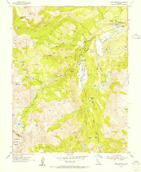
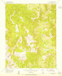
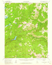
Other maps of this area

1896 · Dardanelles
USGS Topo · 1:125,000

1898 · Dardanelles
USGS Topo · 1:125,000

1948 · Walker Lake
USGS Topo · 1:250,000
1954 · Pickel Meadow
USGS Topo · 1:24,000
1954 · Lost Cannon Peak
USGS Topo · 1:24,000
1956 · Dardanelles Cone
USGS Topo · 1:62,500
1956 · Pinecrest
USGS Topo · 1:62,500
1956 · Sonora Pass
USGS Topo · 1:62,500
1956 · Tower Peak
USGS Topo · 1:62,500

1957 · Walker Lake
USGS Topo · 1:250,000