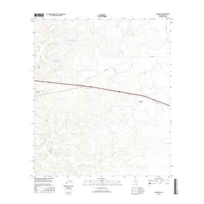
2016 Map of Sonora SE
USGS Topo · Published 2016About this map
Sonora sits at the western edge of this South Texas landscape, serving as a gateway to the ranchlands of Sutton County during the mid-2010s. The area is characterized by a network of private and county roads, such as Co Rd 864 and Bond Rd, which navigate the undulating topography of the Edwards Plateau. The importance of water management in this arid region is evident through the engineering of the Soil Conservation Service Site 11 Reservoir and its companion, Site 12 Reservoir, designed to manage runoff and support local livestock operations. Central to the map's layout is Ranch Rd 3130, which facilitates transit across the scrubland, while the John Fields Ranch Airport indicates the role of private aviation in managing these expansive Texas properties.
Find a feature on this map
15 named features on this map. Tap any name to fly to it.
Don’t see what you’re looking for? This feature index may not catch every label — zoom into the map to look around manually.
Map Details
Editions of this 2016 Sonora SE Map
This is the sole edition of this map. No revisions or reprints were ever made.
Other maps of this area

1893 · Rock Springs
USGS Topo · 1:125,000

1893 · Fort McKavett
USGS Topo · 1:125,000

1954 · Sonora
USGS Topo · 1:250,000

1958 · Sonora
USGS Topo · 1:250,000

1963 · Steen Lake
USGS Topo · 1:24,000

1963 · Buffalo Well NW
USGS Topo · 1:24,000

1963 · Buffalo Well SW
USGS Topo · 1:24,000

1964 · Sonora
USGS Topo · 1:24,000

1964 · Sonora SE
USGS Topo · 1:24,000

1964 · Sonora NE
USGS Topo · 1:24,000