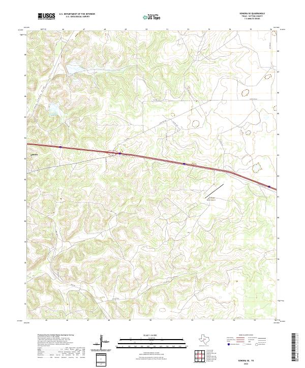
2022 Map of Sonora SE
USGS Topo · Published 2022About this map
Sonora sits on the western edge of this landscape in Sutton County, where the Edwards Plateau transitions into a network of intermittent drainage paths and ranchlands. The area is defined by the winding course of Lowrey Draw and a system of local ranch roads that provide access to the surrounding hill country. Infrastructure in this region supports both agricultural operations and private transportation, notable in the presence of the John Fields Ranch Airport and water management features like Site Number Twelve. Significant transit corridors, including Ranch Rd 3130 and Ranch Rd 864, cut across the limestone-scored terrain, illustrating the modern connectivity of this West Texas ranching district. Researchers can trace the intersection of early settlement paths and contemporary land use through the named private and county roads that navigate the complex topography of the draws.
Find a feature on this map
19 named features on this map. Tap any name to fly to it.
Don’t see what you’re looking for? This feature index may not catch every label — zoom into the map to look around manually.
Map Details
Editions of this 2022 Sonora SE Map
This is the sole edition of this map. No revisions or reprints were ever made.
Other maps of this area

1893 · Rock Springs
USGS Topo · 1:125,000

1893 · Fort McKavett
USGS Topo · 1:125,000

1954 · Sonora
USGS Topo · 1:250,000

1958 · Sonora
USGS Topo · 1:250,000

1963 · Steen Lake
USGS Topo · 1:24,000

1963 · Buffalo Well NW
USGS Topo · 1:24,000

1963 · Buffalo Well SW
USGS Topo · 1:24,000

1964 · Sonora
USGS Topo · 1:24,000

1964 · Sonora SE
USGS Topo · 1:24,000

1964 · Sonora NE
USGS Topo · 1:24,000