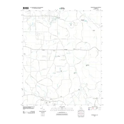
2011 Map of Sonoraville
USGS Topo · Published 2011About this map
Pine Log Creek and its many tributaries, including Little Pine Log Creek and Moore Branch, define the hydrology of this Gordon County landscape. Small agricultural settlements like Sonoraville, Farmville, and Cash anchor a network of local roads such as Covington Bridge Rd SE and Boone Ford Rd SE. The presence of several private impoundments, including Dews Lake and Lake Myrtle, highlights a managed water system typical of modern Georgia rural land use.
Find a feature on this map
97 named features on this map. Tap any name to fly to it.
Don’t see what you’re looking for? This feature index may not catch every label — zoom into the map to look around manually.
Map Details
Editions of this 2011 Sonoraville Map
This is the sole edition of this map. No revisions or reprints were ever made.
Other maps of this area

1886 · Dalton
USGS Topo · 1:125,000

1890 · Cartersville
USGS Topo · 1:125,000

1891 · Cartersville
USGS Topo · 1:125,000

1892 · Dalton
USGS Topo · 1:125,000

1896 · Cartersville
USGS Topo · 1:125,000

1897 · Dalton
USGS Topo · 1:125,000

1914 · Talking Rock
USGS Topo · 1:62,500

1916 · Talking Rock
USGS Topo · 1:62,500

1941 · Adairsville
USGS Topo · 1:62,500

1944 · Adairsville
USGS Topo · 1:62,500