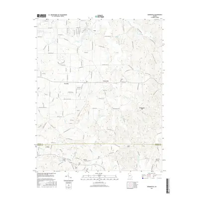
2017 Map of Sonoraville
USGS Topo · Published 2017About this map
The agrarian landscape of Gordon and Bartow Counties unfolds across this 2017 study, anchored by the crossroads of Sonoraville and the historic site of Yarbroughs Mill. The terrain is defined by the winding course of Pine Log Creek and Salacoa Creek, which feed into several local water bodies including Young-Wright Lake and Shope Lake. Genealogists will find a wealth of burial sites and religious landmarks, ranging from the Franklin Graveyard and Barton Family Cemetery to the Mount Pleasant Baptist Church.
Find a feature on this map
139 named features on this map. Tap any name to fly to it.
Don’t see what you’re looking for? This feature index may not catch every label — zoom into the map to look around manually.
Map Details
Editions of this 2017 Sonoraville Map
This is the sole edition of this map. No revisions or reprints were ever made.
Other maps of this area

1886 · Dalton
USGS Topo · 1:125,000

1890 · Cartersville
USGS Topo · 1:125,000

1891 · Cartersville
USGS Topo · 1:125,000

1892 · Dalton
USGS Topo · 1:125,000

1896 · Cartersville
USGS Topo · 1:125,000

1897 · Dalton
USGS Topo · 1:125,000

1914 · Talking Rock
USGS Topo · 1:62,500

1916 · Talking Rock
USGS Topo · 1:62,500

1941 · Adairsville
USGS Topo · 1:62,500

1944 · Adairsville
USGS Topo · 1:62,500