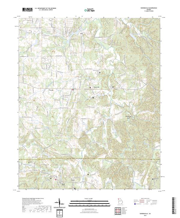
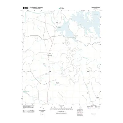
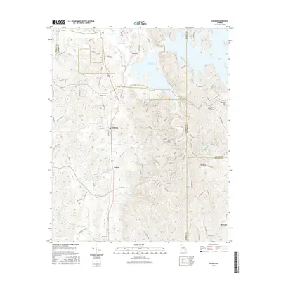
2024 Map of Sonoraville
USGS Topo · Published 2024About this map
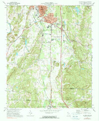
Sonoraville and the surrounding Gordon County agricultural corridor appear here alongside several significant family and community landmarks. The landscape is defined by the drainage basins of Pine Log Creek and Jacks Creek, which support a network of small lakes including Shope Lake and Dews Lake. Local history is anchored by numerous burial grounds and spiritual centers, such as the Bethlehem Baptist Church and the Franklin Graveyard.
Find a feature on this map
148 named features on this map. Tap any name to fly to it.
Don’t see what you’re looking for? This feature index may not catch every label — zoom into the map to look around manually.
Map Details
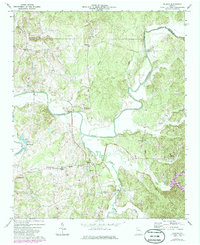
Editions of this 2024 Sonoraville Map
This is the sole edition of this map. No revisions or reprints were ever made.
Historical Maps of Farmville Through Time
36 maps found
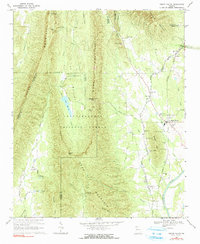
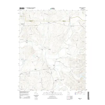
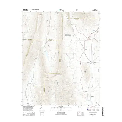
1967 Sugar Valley
Gordon County, GA
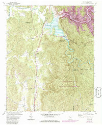
1971 Oakman
Gordon County, GA
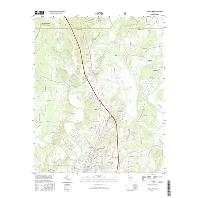
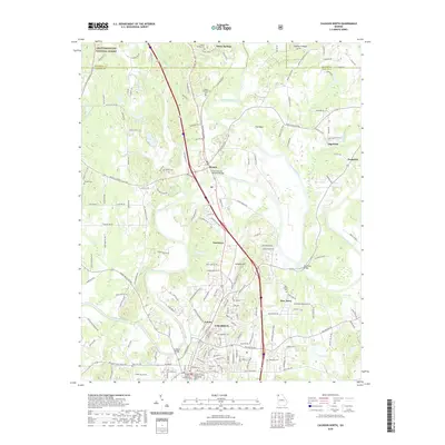
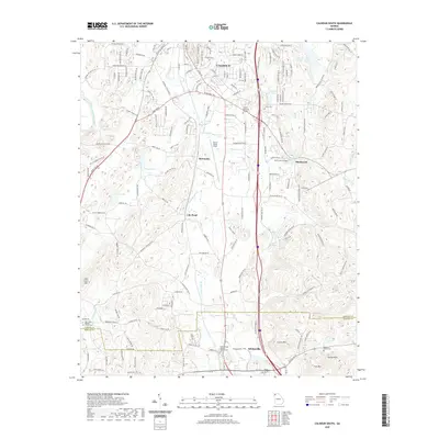
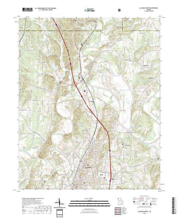
1972 Calhoun North
Gordon County, GA
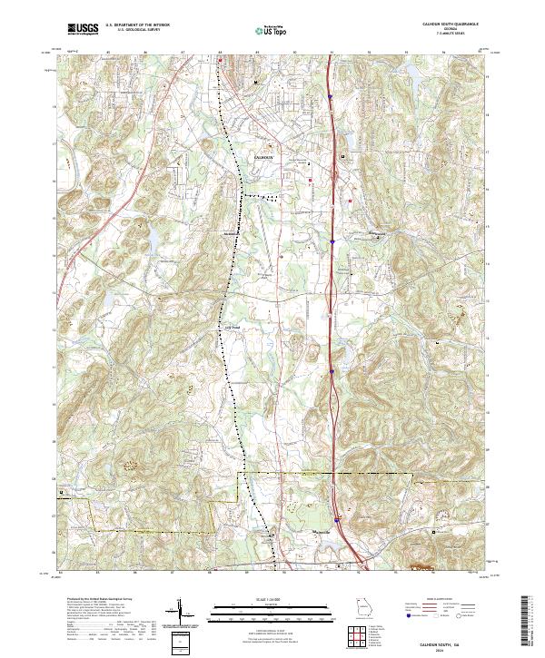
1972 Calhoun South
Gordon County, GA
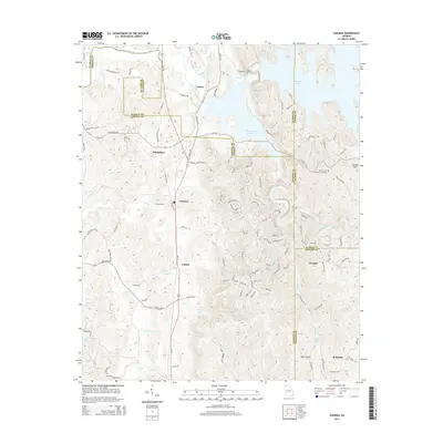
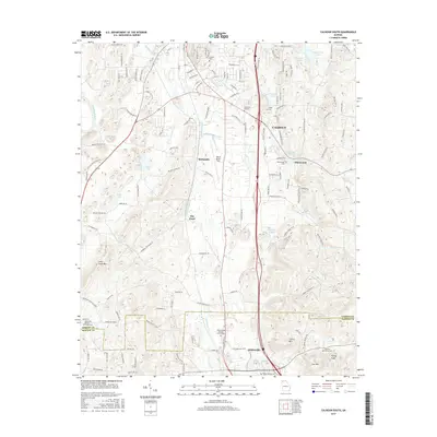
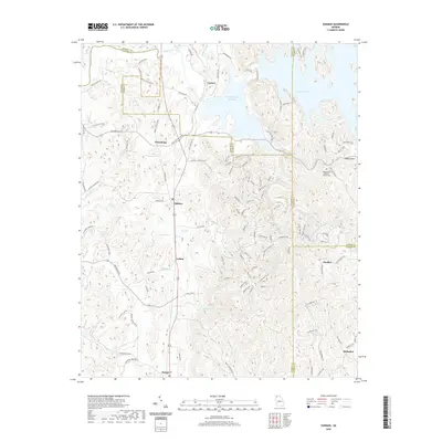
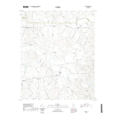
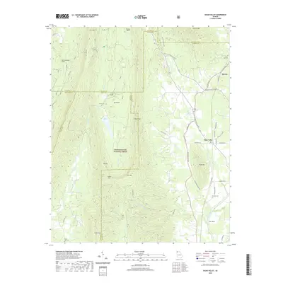
1972 Redbud
Gordon County, GA
1972 Sonoraville
Gordon County, GA
2011 Calhoun North
Gordon County, GA

2011 Calhoun South
Gordon County, GA
2011 Oakman
Gordon County, GA
2011 Redbud
Gordon County, GA
2011 Sonoraville
Gordon County, GA
2011 Sugar Valley
Gordon County, GA
2014 Calhoun North
Gordon County, GA
2014 Calhoun South
Gordon County, GA
2014 Oakman
Gordon County, GA
2014 Redbud
Gordon County, GA
2014 Sonoraville
Gordon County, GA
2014 Sugar Valley
Gordon County, GA
2017 Calhoun North
Gordon County, GA
2017 Calhoun South
Gordon County, GA
2017 Oakman
Gordon County, GA
2017 Redbud
Gordon County, GA
2017 Sonoraville
Gordon County, GA
2017 Sugar Valley
Gordon County, GA
2020 Calhoun North
Gordon County, GA
2020 Calhoun South
Gordon County, GA
2020 Oakman
Gordon County, GA
2020 Redbud
Gordon County, GA
2020 Sonoraville
Gordon County, GA
2020 Sugar Valley
Gordon County, GA
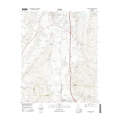
2024 Calhoun North
Gordon County, GA
2024 Calhoun South
Gordon County, GA
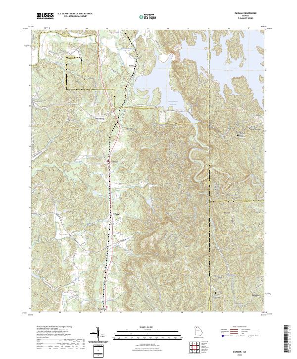
2024 Oakman
Gordon County, GA
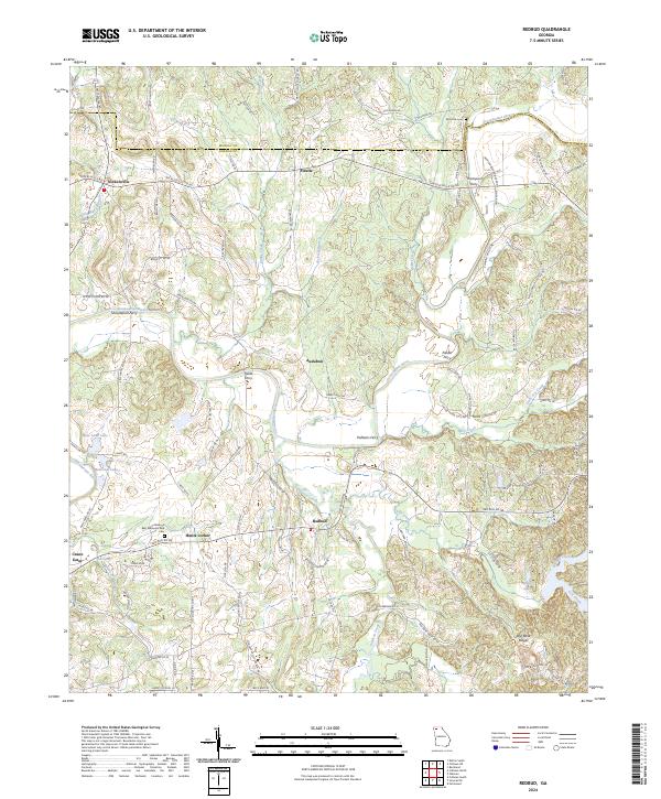
2024 Redbud
Gordon County, GA
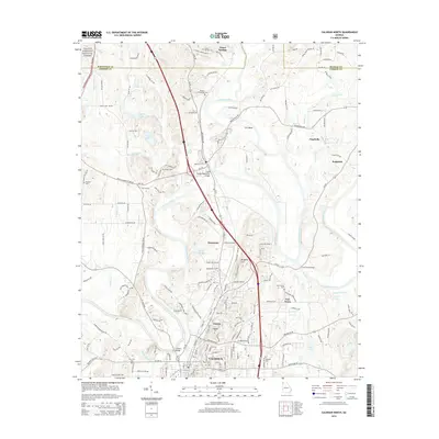
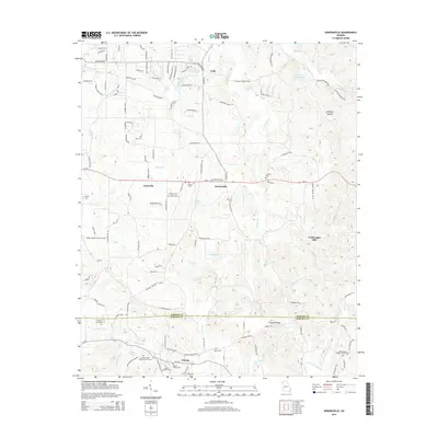
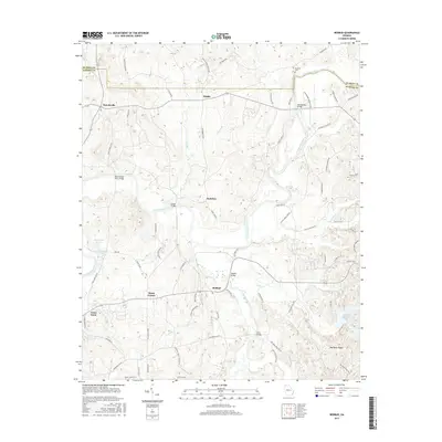
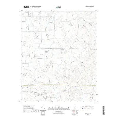
2024 Sonoraville
Gordon County, GA
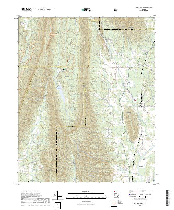
2024 Sugar Valley
Gordon County, GA