
1965 Map of Sontag Mesa
USGS Topo · Published 1967About this map
The San Carlos Indian Reservation encompasses this high desert landscape, dominated by the deep canyon of the San Carlos River and its confluence with the Blue River. Mapped in the mid-1960s, the terrain reveals a reliance on essential water sources for cattle or survival, marked by features such as Antelope Tank, Big Brushy Tank, and Little Brushy Tank. The boundary between Gila County and Graham County cuts across the river valley, while the Base Line serves as a primary east-west surveying reference. Settlement is absent here, replaced by a network of a Trail and Jeep Trail winding across Sontag Mesa and down toward Antelope Flats, indicating a rugged, seasonal-use landscape defined by its hydrology and geography rather than permanent towns.
Find a feature on this map
20 named features on this map. Tap any name to fly to it.
Don’t see what you’re looking for? This feature index may not catch every label — zoom into the map to look around manually.
Map Details
Editions of this 1965 Sontag Mesa Map
This is the sole edition of this map. No revisions or reprints were ever made.
Other maps of this area

1954 · Mesa
USGS Topo · 1:250,000

1957 · Mesa
USGS Topo · 1:250,000

1958 · Mesa
USGS Topo · 1:250,000

1960 · Mesa
USGS Topo · 1:250,000

1964 · Mesa
USGS Topo · 1:250,000

1966 · Branaman Spring
USGS Topo · 1:24,000

1966 · Natural Corral
USGS Topo · 1:24,000
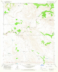
1966 · Bronco Gulch
USGS Topo · 1:24,000

1966 · Cassadore Spring
USGS Topo · 1:24,000
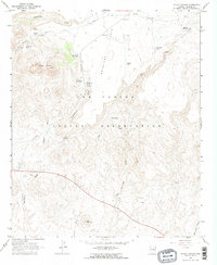
1966 · Mount Triplet
USGS Topo · 1:24,000