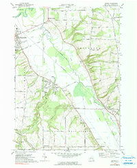
1972 Map of Sonyea
USGS Topo · Published 1991About this map
Craig State School dominates the central landscape of this survey, surrounded by its own utility infrastructure including a sewage disposal plant and the Craig State Sch Cem. The terrain is defined by the sharp descent from the highlands of Groveland into the broad alluvial valley where Canaseraga Creek and Keshequa Creek meander toward the Genesee River. This drainage pattern shaped the local economy, as seen in the alignment of the Erie-Lackawanna Railroad and the older, abandoned transport routes like the old railroad grade near Groveland. Numerous small rural nodes like Kysorville, Sonyea, and Hampton Corners are documented alongside specialized local features, including the Dutch Street Cem and the Hawkins Sch, providing a clear view of the social and physical geography of Livingston County during the early 1970s.
Find a feature on this map
77 named features on this map. Tap any name to fly to it.
Don’t see what you’re looking for? This feature index may not catch every label — zoom into the map to look around manually.
Map Details
Editions of this 1972 Sonyea Map
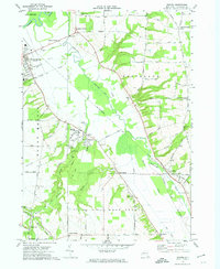
2 editions found
Other maps of this area

1901 · Honeoye
USGS Topo · 1:62,500

1902 · Wayland
USGS Topo · 1:62,500

1904 · Wayland
USGS Topo · 1:62,500

1904 · Caledonia
USGS Topo · 1:62,500

1904 · Honeoye
USGS Topo · 1:62,500

1905 · Nunda
USGS Topo · 1:62,500

1942 · Dansville
USGS Topo · 1:31,680

1942 · Conesus
USGS Topo · 1:31,680
1942 · Livonia
USGS Topo · 1:31,680

1943 · Mount Morris
USGS Topo · 1:24,000