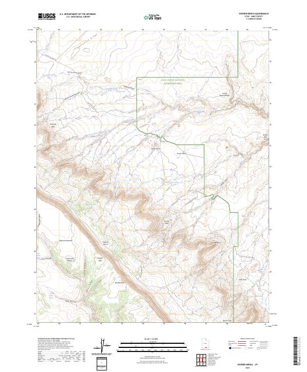
2023 Map of Sooner Bench
USGS Topo · Published 2023About this map
The Glen Canyon National Recreation Area dominates the eastern half of this terrain, where geologic landmarks like Sunset Natural Bridge and Broken Bow Arch define the canyon-cut landscape. The historical Hole In The Rock Rd winds through the northern and eastern sections, providing the primary access through this remote part of Kane County.
Find a feature on this map
41 named features on this map. Tap any name to fly to it.
Don’t see what you’re looking for? This feature index may not catch every label — zoom into the map to look around manually.
Map Details
Editions of this 2023 Sooner Bench Map
This is the sole edition of this map. No revisions or reprints were ever made.
Other maps of this area

1886 · Escalante
USGS Topo · 1:250,000

1886 · Henry Mountains
USGS Topo · 1:250,000

1892 · Henry Mountains
USGS Topo · 1:250,000

1953 · Cummings Mesa
USGS Topo · 1:62,500

1953 · The Rincon
USGS Topo · 1:62,500

1953 · Navajo Mountain
USGS Topo · 1:62,500

1956 · Escalante
USGS Topo · 1:250,000

1960 · Escalante
USGS Topo · 1:250,000
1968 · Big Hollow Wash
USGS Topo · 1:24,000
1968 · Blackburn Canyon
USGS Topo · 1:24,000