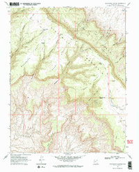
1968 Map of Blackburn Canyon
USGS Topo · Published 1971About this map
Straight Cliffs and Fiftymile Ridge dominate this section of the Utah landscape, creating a dramatic escarpment that separates the upper plateaus from the lower basins. The map captures a remote backcountry environment where water sources like Harry Colwes Spring, Pleasant Grove Spring, and Mudhole Spring were essential for survival and livestock management. This 1968 survey details the intricate network of Pack Trails and Jeep Trails that navigated the complex terrain of Steer Mountain and Little Valley. Local landmarks such as Cougar Knoll and Indian Gardens indicate a landscape shaped by both natural features and human nomenclature. The topography reveals deep erosional patterns in Llewellyn Canyon and Blackburn Canyon, illustrating the high desert's geological character before modern development or increased recreational access transformed the region.
Find a feature on this map
38 named features on this map. Tap any name to fly to it.
Don’t see what you’re looking for? This feature index may not catch every label — zoom into the map to look around manually.
Map Details
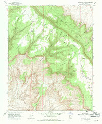
Editions of this 1968 Blackburn Canyon Map
2 editions found
Other maps of this area

1886 · Escalante
USGS Topo · 1:250,000

1922 · Warm Creek
USGS Topo · 1:63,360

1922 · Rees Canyon
USGS Topo · 1:63,360

1953 · Cummings Mesa
USGS Topo · 1:62,500

1953 · Gunsight Butte
USGS Topo · 1:62,500

1956 · Escalante
USGS Topo · 1:250,000

1960 · Escalante
USGS Topo · 1:250,000

1968 · East of The Navajo
USGS Topo · 1:24,000
1968 · Big Hollow Wash
USGS Topo · 1:24,000
1968 · Basin Canyon
USGS Topo · 1:24,000