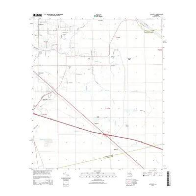
2015 Map of Sorrento
USGS Topo · Published 2015About this map
Sorrento and Saint Amant anchor this survey of the low-lying Ascension Parish landscape, where a dense network of watercourses and man-made channels dictates the pattern of settlement. The terrain is characterized by slightly elevated features like Laurel Ridge and McElroy Ridge, which provide stable ground for roads and residences amidst the marshes. Water management is a central theme, evidenced by the extensive Babin Canal, Saveiro Canal, and New River Canal.
Find a feature on this map
59 named features on this map. Tap any name to fly to it.
Don’t see what you’re looking for? This feature index may not catch every label — zoom into the map to look around manually.
Map Details
Editions of this 2015 Sorrento Map
This is the sole edition of this map. No revisions or reprints were ever made.
Other maps of this area

1892 · Mount Airy
USGS Topo · 1:62,500

1892 · Donaldsonville
USGS Topo · 1:62,500

1934 · Denham Springs
USGS Topo · 1:62,500

1934 · Springfield
USGS Topo · 1:62,500

1935 · Gonzales
USGS Topo · 1:31,680

1939 · Springfield
USGS Topo · 1:62,500

1939 · Denham Springs
USGS Topo · 1:62,500

1939 · Donaldsonville
USGS Topo · 1:62,500

1946 · Convent
USGS Topo · 1:31,680
1946 · Lutcher
USGS Topo · 1:31,680