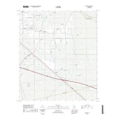
2020 Map of Sorrento
USGS Topo · Published 2020About this map
The town of Sorrento serves as a focal point for this low-lying landscape in Ascension Parish, where a dense network of canals and bayous dictates the pattern of human settlement. Long-established communities such as Saint Amant and Acy are situated along higher ground like Laurel Ridge, surrounded by an intricate waterway system including Black Bayou, New River, and the Panama Canal. These waterways were essential for drainage and transport in this swampy environment, historically supporting the local timber and agricultural economies.
Find a feature on this map
70 named features on this map. Tap any name to fly to it.
Don’t see what you’re looking for? This feature index may not catch every label — zoom into the map to look around manually.
Map Details
Editions of this 2020 Sorrento Map
This is the sole edition of this map. No revisions or reprints were ever made.
Other maps of this area

1892 · Mount Airy
USGS Topo · 1:62,500

1892 · Donaldsonville
USGS Topo · 1:62,500

1934 · Denham Springs
USGS Topo · 1:62,500

1934 · Springfield
USGS Topo · 1:62,500

1935 · Gonzales
USGS Topo · 1:31,680

1939 · Springfield
USGS Topo · 1:62,500

1939 · Denham Springs
USGS Topo · 1:62,500

1939 · Donaldsonville
USGS Topo · 1:62,500

1946 · Convent
USGS Topo · 1:31,680
1946 · Lutcher
USGS Topo · 1:31,680