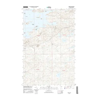
2016 Map of Soudan
USGS Topo · Published 2016About this map
Soudan and the surrounding Iron Range landscape define this 2016 survey, where the intersection of mining history and the intricate waterways of Vermilion Lake is clearly visible. The settlement at Soudan is laid out with a grid of streets including Main St and Church St, while the nearby Larue Mine Rd hints at the industrial heritage of the Vermilion Range. The terrain is characterized by a dense archipelago of islands, including Timber Island, Ely Island, and Hendrickson Island, which separate large bodies of water like Armstrong Bay and Stuntz Bay. To the south, the landscape transitions into a complex of smaller lakes and rivers, such as Fivemile Lake, Eagles Nest Lake Number 2, and the winding East Two River. Local high points like Jasper Peak offer a vantage over the network of township roads and forest tracks that connect the isolated settlement of Murray to the lakefront.
Find a feature on this map
57 named features on this map. Tap any name to fly to it.
Don’t see what you’re looking for? This feature index may not catch every label — zoom into the map to look around manually.
Map Details
Editions of this 2016 Soudan Map
This is the sole edition of this map. No revisions or reprints were ever made.
Other maps of this area

1949 · Isaac Lake
USGS Topo · 1:24,000

1949 · Embarrass
USGS Topo · 1:24,000

1950 · Isaac Lake
USGS Topo · 1:24,000

1950 · Embarrass
USGS Topo · 1:24,000

1950 · Biwabik NE
USGS Topo · 1:24,000

1951 · Biwabik NE
USGS Topo · 1:24,000

1954 · Hibbing
USGS Topo · 1:250,000

1956 · Sioux Pine Island
USGS Topo · 1:24,000

1956 · Tower
USGS Topo · 1:24,000

1956 · Chad Lake
USGS Topo · 1:24,000