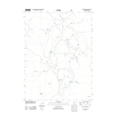
2012 Map of Soup Creek
USGS Topo · Published 2012About this map
Brooks Mill and Cantrall Mill sit along the complex waterway networks of Modoc County, where mountain drainage systems define the local geography. The area is characterized by a series of distinct meadows and flats, including Henderson Meadow, Hacker Flat, and Bear Flat, which suggest a landscape historically utilized for grazing and small-scale milling. The drainage of the S Fork Fitzhugh Cr and Soup Cr dominates the central terrain, leading toward recreation and natural landmarks in the east. Mill Creek Falls and the adjacent Mill Creek Falls Campground provide a focal point for the eastern portion of the map near Clear Lake. This 2012 survey illustrates the modern road system, including W Warner Rd and Jess Valley Rd, which connect these isolated ranching and milling sites across the high-elevation swales and creek forks.
Find a feature on this map
27 named features on this map. Tap any name to fly to it.
Don’t see what you’re looking for? This feature index may not catch every label — zoom into the map to look around manually.
Map Details
Editions of this 2012 Soup Creek Map
This is the sole edition of this map. No revisions or reprints were ever made.
Other maps of this area
1886 · Alturas
USGS Topo · 1:250,000
1892 · Alturas
USGS Topo · 1:250,000
1954 · Alturas
USGS Topo · 1:250,000
1958 · Alturas
USGS Topo · 1:250,000
1962 · Alturas
USGS Topo · 1:250,000
1962 · Tule Mountain
USGS Topo · 1:24,000
1962 · Jess Valley
USGS Topo · 1:24,000
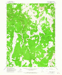
1962 · Emerson Peak
USGS Topo · 1:24,000
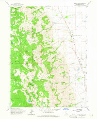
1963 · Warren Peak
USGS Topo · 1:24,000
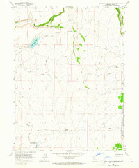
1963 · Little Juniper Reservoir
USGS Topo · 1:24,000