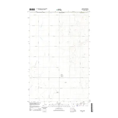
2014 Map of Souris
USGS Topo · Published 2014About this map
Souris serves as the central hub of this North Dakota landscape, situated within Bottineau Co just south of the Canadian border. The settlement is organized around a traditional grid of section-line roads, with a designated Po serving the local community. The surrounding terrain is characterized by the meandering path of Boundary Creek, which flows through the northwestern and western portions of the quadrangle. This 2014 survey documents a predominantly agricultural region where the natural drainage of Boundary Cr meets a strictly ordered system of county roads and local streets. Local landmarks like Mtn View Cem and the Kornkven Airstrip reflect the area's rural infrastructure and community history. The map captures the quiet intersection of international boundaries and small-town life in the northern plains.
Find a feature on this map
27 named features on this map. Tap any name to fly to it.
Don’t see what you’re looking for? This feature index may not catch every label — zoom into the map to look around manually.
Map Details
Editions of this 2014 Souris Map
This is the sole edition of this map. No revisions or reprints were ever made.
Other maps of this area

1954 · Souris SW
USGS Topo · 1:24,000

1954 · Landa SE
USGS Topo · 1:24,000

1954 · Souris
USGS Topo · 1:24,000

1954 · Souris SE
USGS Topo · 1:24,000

1954 · Roth
USGS Topo · 1:24,000

1954 · Minot
USGS Topo · 1:250,000

1956 · Carbury
USGS Topo · 1:24,000

1958 · Minot
USGS Topo · 1:250,000

1980 · Bottineau
USGS Topo · 1:100,000
2011 · Carbury
USGS Topo · 1:24,000