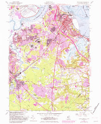
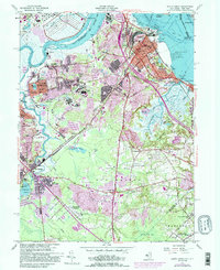
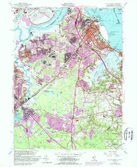
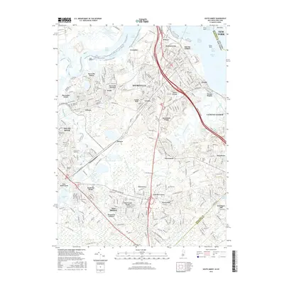
1954 Map of South Amboy
USGS Topo · Published 1982About this map
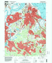
Raritan Arsenal dominates the northern shore of the Raritan River in this mid-century view of the industrial and residential corridors of Middlesex County. The landscape is characterized by a dense network of transportation and industry, from the Conrail lines feeding the shipping facilities at Perth Amboy to the numerous sand and gravel pits around Sayreville. In the south, the terrain shifts toward the wetlands of Cheesequake State Park and the low-lying Burnt Fly Bog, illustrating the boundary between the heavily developed riverfront and the more rural reaches of Old Bridge and Marlboro.
Find a feature on this map
93 named features on this map. Tap any name to fly to it.
Don’t see what you’re looking for? This feature index may not catch every label — zoom into the map to look around manually.
Map Details
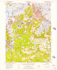
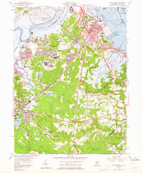
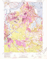
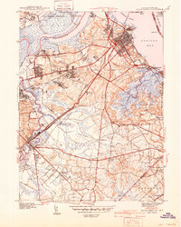
Editions of this 1954 South Amboy Map
6 editions found
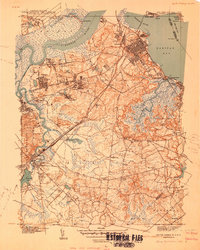
Historical Maps of New York Through Time
10 maps found
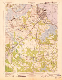
1940 South Amboy
Middlesex County, NJ
1941 South Amboy
Middlesex County, NJ
1943 South Amboy
Middlesex County, NJ
1954 South Amboy
Middlesex County, NJ
1995 South Amboy
Middlesex County, NJ
2011 South Amboy
Middlesex County, NJ
2014 South Amboy
Middlesex County, NJ
2016 South Amboy
Middlesex County, NJ
2019 South Amboy
Middlesex County, NJ
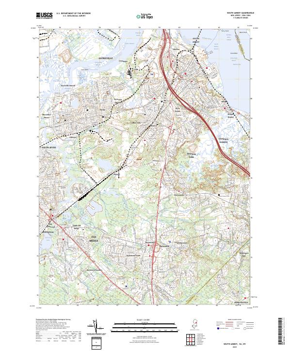
2023 South Amboy
Middlesex County, NJ