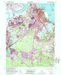
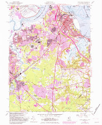
1954 Map of South Amboy
USGS Topo · Published 1988About this map
The Raritan River defines the industrial and maritime character of this region, separating Perth Amboy and Edison from the sprawling rail and industrial hubs of South Amboy and Sayreville. In the mid-1950s, the landscape is a complex mix of dense urban cores, extensive sand and gravel pits, and tidal marshes. Significant infrastructure like the Washington Canal and the South Amboy Junction on the Conrail line underscore the area's role as a transportation corridor. To the south, the terrain transitions into the more open woodlands of Old Bridge, where features like Tennent Pond and the Auto Race Track indicate a shift toward suburban and recreational land use. Local heritage is preserved in numerous community landmarks, including the DeVitte Military Academy and the Church of Our Savior in Browntown, illustrating the growth of inland settlements.
Find a feature on this map
81 named features on this map. Tap any name to fly to it.
Don’t see what you’re looking for? This feature index may not catch every label — zoom into the map to look around manually.
Map Details
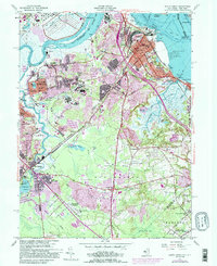
Editions of this 1954 South Amboy Map
6 editions found
Other maps of this area

1888 · Plainfield
USGS Topo · 1:62,500

1888 · New Brunswick
USGS Topo · 1:62,500

1888 · Sandy Hook
USGS Topo · 1:62,500

1893 · New Brunswick
USGS Topo · 1:62,500

1893 · Plainfield
USGS Topo · 1:62,500

1893 · Sandy Hook
USGS Topo · 1:62,500

1898 · Plainfield
USGS Topo · 1:62,500

1898 · Staten Island
USGS Topo · 1:62,500

1900 · Passaic
USGS Topo · 1:125,000

1900 · Staten Island
USGS Topo · 1:62,500