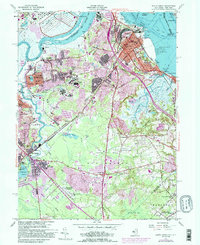
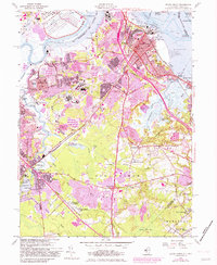
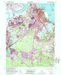
1954 Map of South Amboy
USGS Topo · Published 1988About this map
The Raritan River and Raritan Bay dominate this mid-century survey, anchoring a landscape of heavy industry and vital maritime transport. The port cities of Perth Amboy and South Amboy show a dense urban core connected by the South Amboy Junction and Conrail lines, while the Great Beds Lighthouse stands offshore near the New Jersey and New York state boundary. This area served as a critical logistics hub, evidenced by the expansive Raritan Arsenal in the northwest and the numerous Sand and Gravel Pits dotting the interior.
Find a feature on this map
94 named features on this map. Tap any name to fly to it.
Don’t see what you’re looking for? This feature index may not catch every label — zoom into the map to look around manually.
Map Details
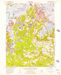
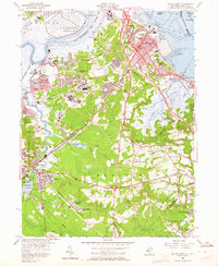
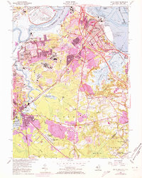
Editions of this 1954 South Amboy Map
6 editions found
Other maps of this area

1888 · Plainfield
USGS Topo · 1:62,500

1888 · New Brunswick
USGS Topo · 1:62,500

1888 · Sandy Hook
USGS Topo · 1:62,500

1893 · New Brunswick
USGS Topo · 1:62,500

1893 · Plainfield
USGS Topo · 1:62,500

1893 · Sandy Hook
USGS Topo · 1:62,500

1898 · Plainfield
USGS Topo · 1:62,500

1898 · Staten Island
USGS Topo · 1:62,500

1900 · Passaic
USGS Topo · 1:125,000

1900 · Staten Island
USGS Topo · 1:62,500