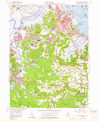
1954 Map of South Amboy
USGS Topo · Published 1964About this map
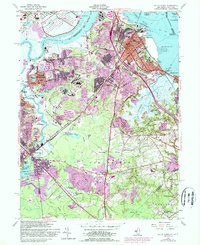
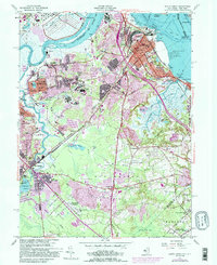
The Raritan Arsenal and the U S Military Reservation dominate the northern landscape of this mid-century survey, illustrating the significant military presence along the Raritan River. The industrial character of the era is evident through the numerous Gravel Pits, Clay Pit, and sand operations that dot the terrain near Sayreville and South Amboy. This industrial activity is tightly integrated with a complex transportation network including the Pennsylvania RR, Lehigh Valley RR, and the Garden State Parkway.
Find a feature on this map
93 named features on this map. Tap any name to fly to it.
Don’t see what you’re looking for? This feature index may not catch every label — zoom into the map to look around manually.
Map Details
Editions of this 1954 South Amboy Map
6 editions found
Other maps of this area

1888 · Plainfield
USGS Topo · 1:62,500

1888 · New Brunswick
USGS Topo · 1:62,500

1888 · Sandy Hook
USGS Topo · 1:62,500

1893 · New Brunswick
USGS Topo · 1:62,500

1893 · Plainfield
USGS Topo · 1:62,500

1893 · Sandy Hook
USGS Topo · 1:62,500

1898 · Plainfield
USGS Topo · 1:62,500

1898 · Staten Island
USGS Topo · 1:62,500

1900 · Passaic
USGS Topo · 1:125,000

1900 · Staten Island
USGS Topo · 1:62,500