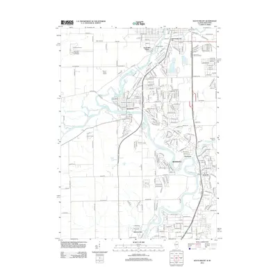
2012 Map of South Beloit
USGS Topo · Published 2012About this map
The Rock River carves a winding path through this northern Illinois and southern Wisconsin borderland, serving as the central geographic feature for the growing communities of South Beloit, Rockton, and Roscoe. The river's confluence with the Pecatonica River and the smaller Turtle Creek defines the local hydrology, creating landmarks like Boney Island and supporting newer residential developments such as Riverdale and South Bluff Homes.
Find a feature on this map
62 named features on this map. Tap any name to fly to it.
Don’t see what you’re looking for? This feature index may not catch every label — zoom into the map to look around manually.
Map Details
Editions of this 2012 South Beloit Map
This is the sole edition of this map. No revisions or reprints were ever made.
Other maps of this area

1891 · Janesville
USGS Topo · 1:62,500

1893 · Janesville
USGS Topo · 1:62,500

1893 · Shopiere
USGS Topo · 1:62,500

1918 · Rockford
USGS Topo · 1:62,500

1918 · Belvidere
USGS Topo · 1:62,500

1938 · Rockford
USGS Topo · 1:62,500

1944 · Belvidere
USGS Topo · 1:62,500

1949 · Rockford
USGS Topo · 1:24,000

1954 · Rockford
USGS Topo · 1:250,000

1955 · Rockford
USGS Topo · 1:250,000