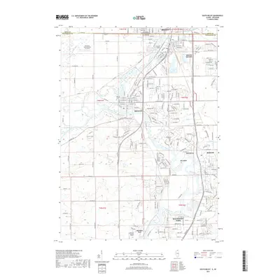
2018 Map of South Beloit
USGS Topo · Published 2018About this map
The Rock River serves as the central artery for this borderland corridor, where the Illinois and Wisconsin state line bisects the contiguous communities of Beloit and South Beloit. The river’s course southward connects several distinct residential and industrial zones, including Morehaven, Riverdale, and Roscoe. Near the western edge, the Pecatonica River joins the Rock River at the village of Rockton, a confluence marked by complex wetlands and drainage patterns including Raccoon Cr.
Find a feature on this map
53 named features on this map. Tap any name to fly to it.
Don’t see what you’re looking for? This feature index may not catch every label — zoom into the map to look around manually.
Map Details
Editions of this 2018 South Beloit Map
This is the sole edition of this map. No revisions or reprints were ever made.
Other maps of this area

1891 · Janesville
USGS Topo · 1:62,500

1893 · Janesville
USGS Topo · 1:62,500

1893 · Shopiere
USGS Topo · 1:62,500

1918 · Rockford
USGS Topo · 1:62,500

1918 · Belvidere
USGS Topo · 1:62,500

1938 · Rockford
USGS Topo · 1:62,500

1944 · Belvidere
USGS Topo · 1:62,500

1949 · Rockford
USGS Topo · 1:24,000

1954 · Rockford
USGS Topo · 1:250,000

1955 · Rockford
USGS Topo · 1:250,000