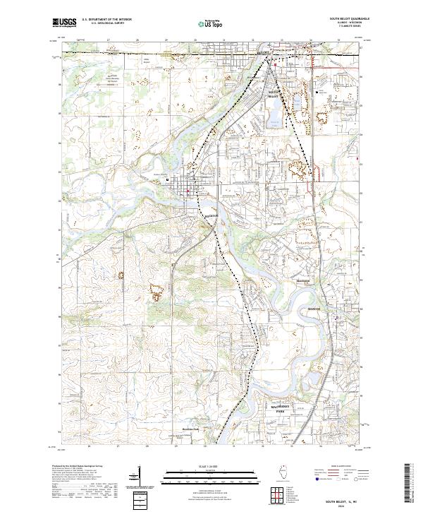
2024 Map of South Beloit
USGS Topo · Published 2024About this map
The Rock River corridor serves as the primary geographic axis for this portion of the Illinois-Wisconsin borderlands, charting the developed landscape between Beloit and Machesney Park. The map documents a dense network of suburban expansion and industrial infrastructure, particularly surrounding the confluence of Turtle Creek and the river. While the northern edge is defined by the rigid interstate boundary, the interior reveals a complex pattern of residential pockets like Morehaven and Hutchins Park interspersed with recreational landmarks. Notable water features such as Pearl Lake, Victoria Lake, and the braided channels near Boney Island highlight the importance of the river valley's hydrology. Local heritage is grounded in sites like the Rockton Township Cem and the adjacent town of Rockton, which maintains its distinct footprint amidst the growing transit corridors of Winnebago County.
Find a feature on this map
78 named features on this map. Tap any name to fly to it.
Don’t see what you’re looking for? This feature index may not catch every label — zoom into the map to look around manually.
Map Details
Editions of this 2024 South Beloit Map
This is the sole edition of this map. No revisions or reprints were ever made.
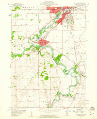
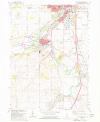
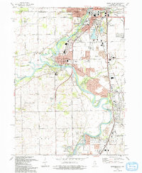
Historical Maps of Roscoe Township Through Time
4 maps found