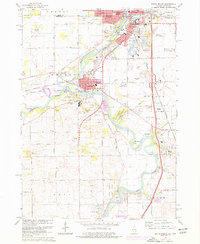
1971 Map of South Beloit
USGS Topo · Published 1977About this map
The Rock River corridor defines the boundary between Beloit, Wisconsin, and South Beloit, Illinois, during this 1970s era of industrial and residential growth. This survey captures the convergence of the Pecatonica River and several creeks, illustrating a landscape managed for both utility and leisure. Extensive Gravel Pits and quarries dot the area, supporting the region's development alongside the Chicago Milwaukee St Paul and Pacific railroad lines.
Find a feature on this map
73 named features on this map. Tap any name to fly to it.
Don’t see what you’re looking for? This feature index may not catch every label — zoom into the map to look around manually.
Map Details
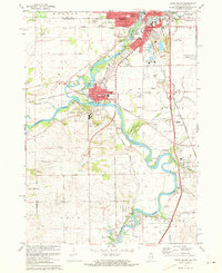
Editions of this 1971 South Beloit Map
2 editions found
Other maps of this area

1891 · Janesville
USGS Topo · 1:62,500

1893 · Janesville
USGS Topo · 1:62,500

1893 · Shopiere
USGS Topo · 1:62,500

1918 · Rockford
USGS Topo · 1:62,500

1918 · Belvidere
USGS Topo · 1:62,500

1938 · Rockford
USGS Topo · 1:62,500

1944 · Belvidere
USGS Topo · 1:62,500

1949 · Rockford
USGS Topo · 1:24,000

1954 · Rockford
USGS Topo · 1:250,000

1955 · Rockford
USGS Topo · 1:250,000