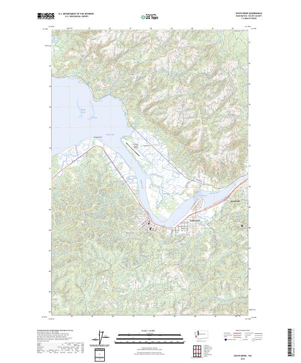
2023 Map of South Bend
USGS Topo · Published 2023About this map
The Willapa River dominates the geography of this Pacific County coastal region, winding past the county seat of South Bend before narrowing toward Raymond. The landscape is defined by the intricate network of tidal waterways such as Mailboat Slough, Skidmore Slough, and Potter Slough that feed into the vast Willapa Bay. The river's historical importance to the regional timber and maritime economy is evident in the street-level detail of South Bend, where Robert Bush Dr and Water St front the shoreline, and the inland presence of the Old Mill Pond.
Find a feature on this map
68 named features on this map. Tap any name to fly to it.
Don’t see what you’re looking for? This feature index may not catch every label — zoom into the map to look around manually.
Map Details
Editions of this 2023 South Bend Map
This is the sole edition of this map. No revisions or reprints were ever made.
Other maps of this area

1938 · South Bend
USGS Topo · 1:62,500

1940 · Montesano
USGS Topo · 1:62,500

1940 · South Bend
USGS Topo · 1:62,500

1953 · Hoquiam
USGS Topo · 1:250,000

1955 · Montesano
USGS Topo · 1:62,500

1955 · Raymond
USGS Topo · 1:62,500
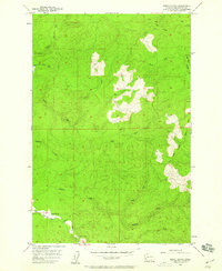
1955 · North Nemah
USGS Topo · 1:24,000

1955 · Aberdeen SE
USGS Topo · 1:24,000

1956 · Western
USGS Topo · 1:24,000

1957 · Hoquiam
USGS Topo · 1:250,000