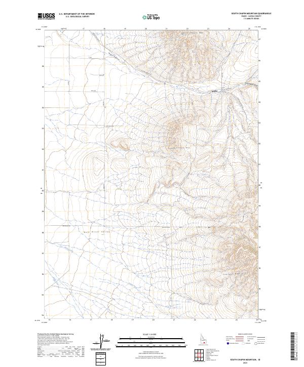
2023 Map of South Chapin Mountain
USGS Topo · Published 2023About this map
Heglar sits at the junction of mountain canyons and the expansive Raft River Valley in this remote section of Cassia County. The landscape is defined by the high elevations of the Sublett Range and the twin peaks of North Chapin Mtn and South Chapin Mtn. This area serves as a critical drainage system, where Heglar Canyon and South Heglar Canyon funnel seasonal runoff toward the valley floor, supported by perennial water sources like Butler Spring and the winding course of Shirley Creek.
Find a feature on this map
24 named features on this map. Tap any name to fly to it.
Don’t see what you’re looking for? This feature index may not catch every label — zoom into the map to look around manually.
Map Details
Editions of this 2023 South Chapin Mountain Map
This is the sole edition of this map. No revisions or reprints were ever made.
Other maps of this area

1954 · Pocatello
USGS Topo · 1:250,000

1958 · Pocatello
USGS Topo · 1:250,000

1958 · Sublett
USGS Topo · 1:62,500

1959 · Lake Walcott
USGS Topo · 1:62,500

1959 · Yale
USGS Topo · 1:62,500

1968 · Malta NE
USGS Topo · 1:24,000

1968 · Malta
USGS Topo · 1:24,000

1984 · North Chapin Mountain
USGS Topo · 1:24,000
1984 · Badger Peak
USGS Topo · 1:24,000
1984 · Lake Walcott SE
USGS Topo · 1:24,000