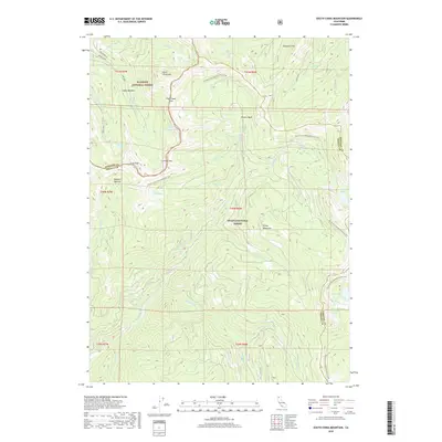
2018 Map of South China Mountain
USGS Topo · Published 2018About this map
China Mountain and South China Mtn anchor this high-elevation landscape along the boundary of Klamath National Forest and Shasta National Forest. The map documents a complex alpine hydrology where the headwaters of the Trinity River and Picayune Cr originate. The Pacific Crest National Scenic Trail winds through the center of the sheet, traversing key geographical transitions at High Camp Pass and Chilcoot Pass. This terrain is defined by a series of glacial basins and flats, including Tamarack Flat and Cabin Meadow. The concentration of high-country water bodies like Deadfall Lakes, Toad Lake, and Porcupine Lake suggests the seasonal importance of this area for livestock grazing and recreation. The border between Siskiyou Co and Trinity Co follows the prominent ridgelines of the Trinity Mountains, illustrating how natural topography dictated local administrative lines.
Find a feature on this map
44 named features on this map. Tap any name to fly to it.
Don’t see what you’re looking for? This feature index may not catch every label — zoom into the map to look around manually.
Map Details
Editions of this 2018 South China Mountain Map
This is the sole edition of this map. No revisions or reprints were ever made.
Other maps of this area

1886 · Shasta
USGS Topo · 1:250,000

1894 · Shasta
USGS Topo · 1:250,000

1923 · Sawyers Bar
USGS Topo · 1:125,000

1931 · Etna
USGS Topo · 1:96,000

1934 · Etna
USGS Topo · 1:125,000

1935 · Dunsmuir
USGS Topo · 1:125,000

1948 · Weed
USGS Topo · 1:250,000

1950 · Weed
USGS Topo · 1:250,000

1954 · Weed
USGS Topo · 1:62,500

1954 · Dunsmuir
USGS Topo · 1:62,500