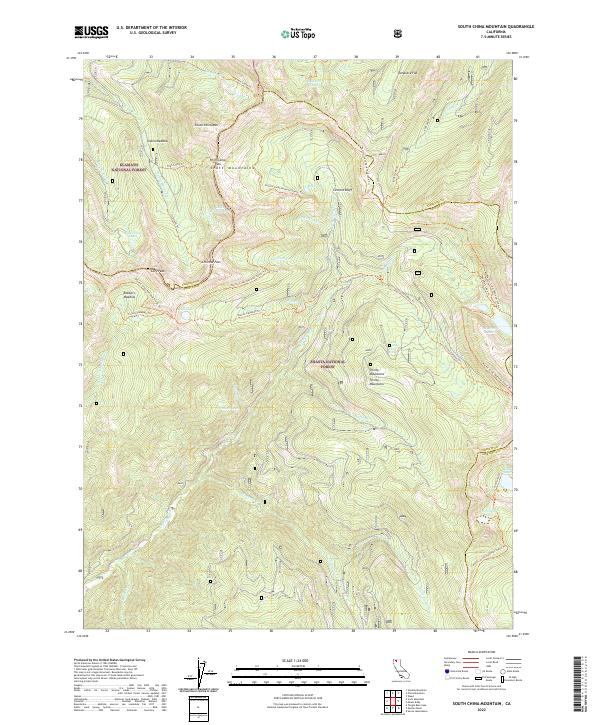
2022 Map of South China Mountain
USGS Topo · Published 2022About this map
South China Mtn and the Scott Mountains dominate this high-elevation landscape along the border of Klamath National Forest and Shasta National Forest. The terrain is defined by a dense network of alpine water bodies, including Cabin Meadow Lake, Bull Lake, and the clustered Deadfall Lakes near the eastern margin. Transportation through this remote mountain corridor is primarily limited to historic trails such as the Pacific Crest National Scenic Trl, which winds past Chilcoot Pass and Cement Bluff. The map records a wilderness area where the headwaters of the Trinity River and Eddy Cr begin their descent. For those studying the geography of the Trinity Mountains, the sheet provides exact locations for prominent landmarks like Cory Peak and the expansive Robbers Meadow, illustrating the intricate drainage patterns of Picayune Cr and Chilcoot Cr that feed the region's larger river systems.
Find a feature on this map
50 named features on this map. Tap any name to fly to it.
Don’t see what you’re looking for? This feature index may not catch every label — zoom into the map to look around manually.
Map Details
Editions of this 2022 South China Mountain Map
This is the sole edition of this map. No revisions or reprints were ever made.
Other maps of this area

1886 · Shasta
USGS Topo · 1:250,000

1894 · Shasta
USGS Topo · 1:250,000

1923 · Sawyers Bar
USGS Topo · 1:125,000

1931 · Etna
USGS Topo · 1:96,000

1934 · Etna
USGS Topo · 1:125,000

1935 · Dunsmuir
USGS Topo · 1:125,000

1948 · Weed
USGS Topo · 1:250,000

1950 · Weed
USGS Topo · 1:250,000

1954 · Weed
USGS Topo · 1:62,500

1954 · Dunsmuir
USGS Topo · 1:62,500