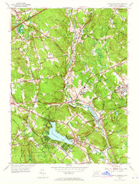
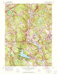
1953 Map of South Coventry
USGS Topo · Published 1965About this map
Wangumbaug Lake serves as a focal point for the settlement of South Coventry, where the local landscape is deeply tied to the legacy of a Revolutionary War figure. The presence of the Nathan Hale Birthplace and the adjacent Nathan Hale State Forest highlights the region's historical memory, anchored by the Nathan Hale Cem nearby. Further north, the institutional footprint of the University of Connecticut at Storrs appears in an era of post-war expansion, complemented by the University of Conn Experiment Farm.
Find a feature on this map
77 named features on this map. Tap any name to fly to it.
Don’t see what you’re looking for? This feature index may not catch every label — zoom into the map to look around manually.
Map Details
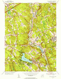
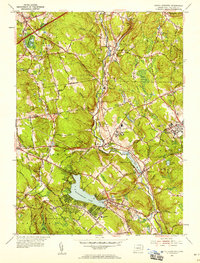
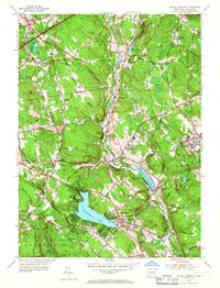
Editions of this 1953 South Coventry Map
5 editions found
Other maps of this area

1892 · Woodstock
USGS Topo · 1:62,500

1892 · Tolland
USGS Topo · 1:62,500

1892 · Norwich
USGS Topo · 1:62,500

1892 · Gilead
USGS Topo · 1:62,500

1921 · Tolland
USGS Topo · 1:62,500

1921 · Woodstock
USGS Topo · 1:62,500

1944 · Marlboro
USGS Topo · 1:31,680

1944 · South Coventry
USGS Topo · 1:31,680

1944 · Columbia
USGS Topo · 1:31,680
1944 · Rockville
USGS Topo · 1:31,680