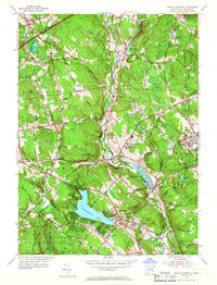
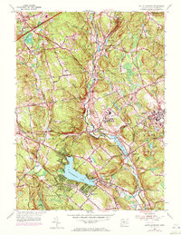
1953 Map of South Coventry
USGS Topo · Published 1967About this map
The University of Connecticut at Storrs stands as a focal point of this mid-century portrait of Tolland County, showing the institution's layout alongside the neighboring State Hospital. This era captures the landscape before major modern expansion, where the Central Vermont railroad still tracks the course of the Willimantic River through industrial and transit hamlets like Mansfield Depot, Eagleville, and South Willington.
Find a feature on this map
59 named features on this map. Tap any name to fly to it.
Don’t see what you’re looking for? This feature index may not catch every label — zoom into the map to look around manually.
Map Details
Editions of this 1953 South Coventry Map
5 editions found
Other maps of this area

1892 · Woodstock
USGS Topo · 1:62,500

1892 · Tolland
USGS Topo · 1:62,500

1892 · Norwich
USGS Topo · 1:62,500

1892 · Gilead
USGS Topo · 1:62,500

1921 · Tolland
USGS Topo · 1:62,500

1921 · Woodstock
USGS Topo · 1:62,500

1944 · Marlboro
USGS Topo · 1:31,680

1944 · South Coventry
USGS Topo · 1:31,680

1944 · Columbia
USGS Topo · 1:31,680
1944 · Rockville
USGS Topo · 1:31,680